|
| *****SWAAG_ID***** | 106 |
| Date Entered | 15/01/2011 |
| Updated on | 15/01/2011 |
| Recorded by | Stephen Eastmead (admin) |
| Category | Mining Related |
| Record Type | Mining |
| Site Access | Public Access Land |
| Record Date | 07/08/2008 |
| Location | Sleigill / Washy Green Mines |
| Civil Parish | Not known |
| Brit. National Grid | |
| Record Name | Sleigill / Washy Green Mines |
| Record Description | Copyright all images: 2010 Chris Twigg. Images taken 07-08-2010 |
| Dimensions | Sleigill, Langthwaite |
| Image 1 ID | 145 Click image to enlarge |
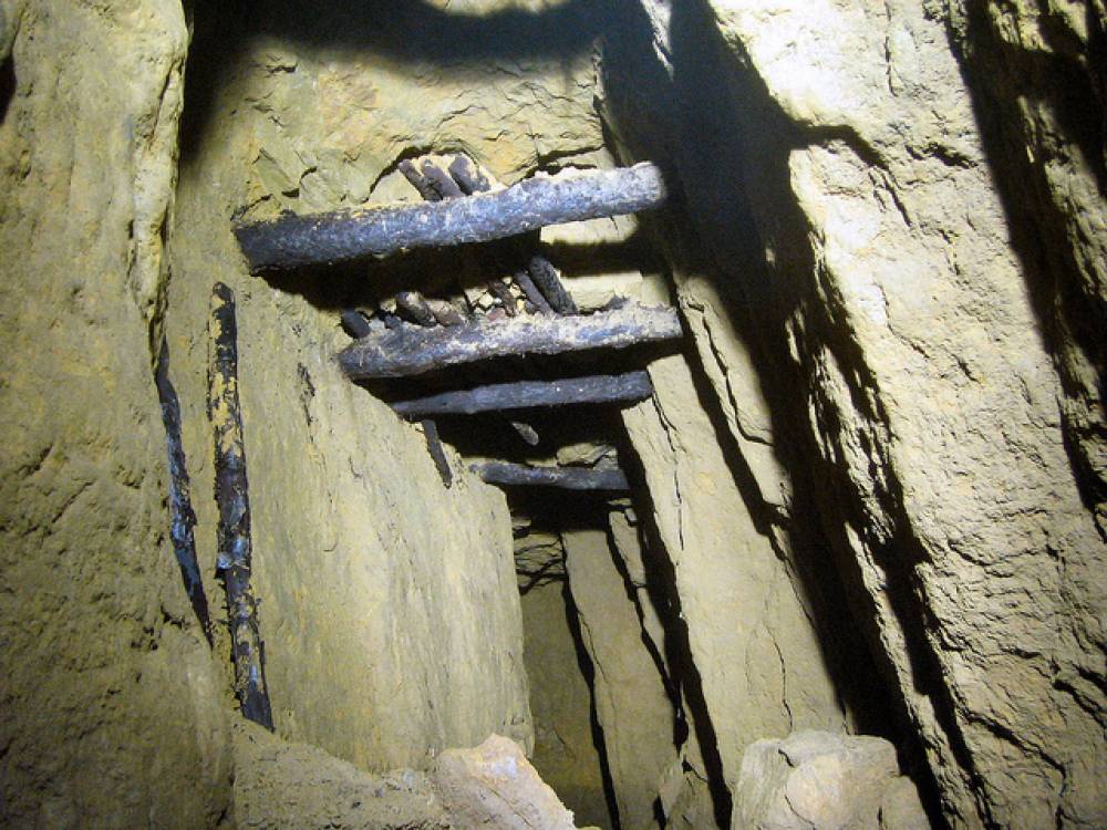
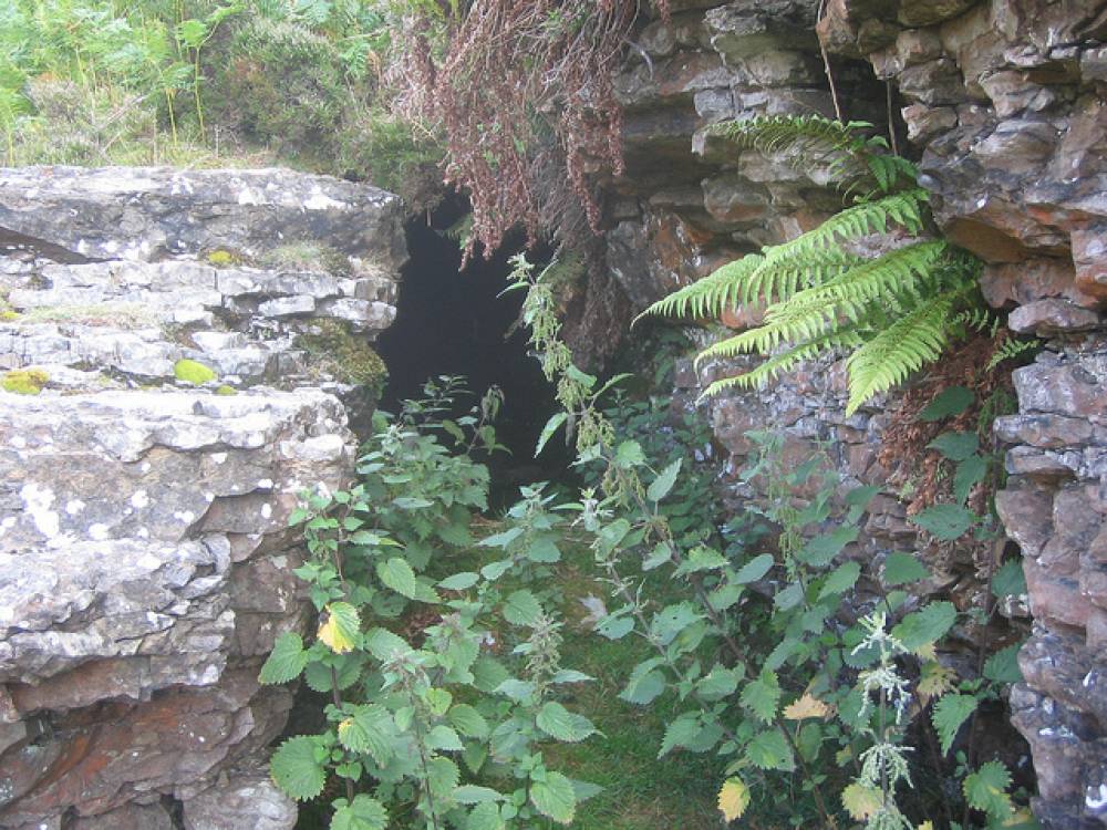
| Image 1 Description | Level Near Washy Green | 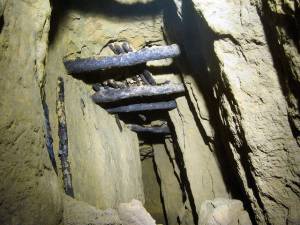 |
| Image 2 ID | 146 Click image to enlarge |
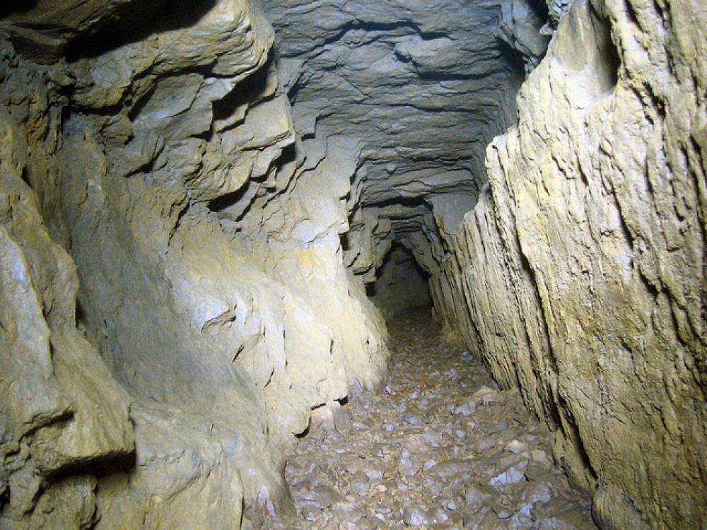
| Image 2 Description | Level Near Washy Green | 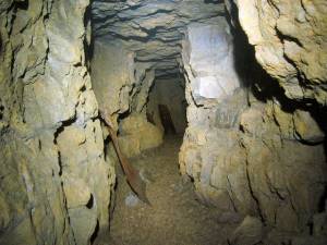 |
| Image 3 ID | 147 Click image to enlarge |
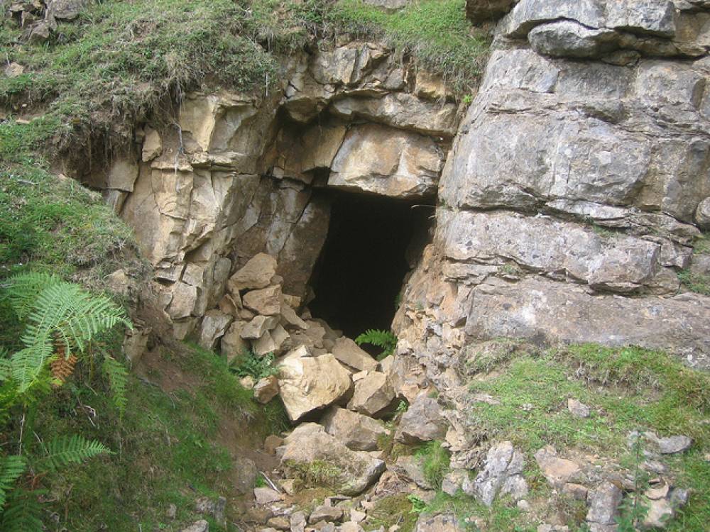
| Image 3 Description | Level Near Washy Green |  |
| Image 4 ID | 148 Click image to enlarge |
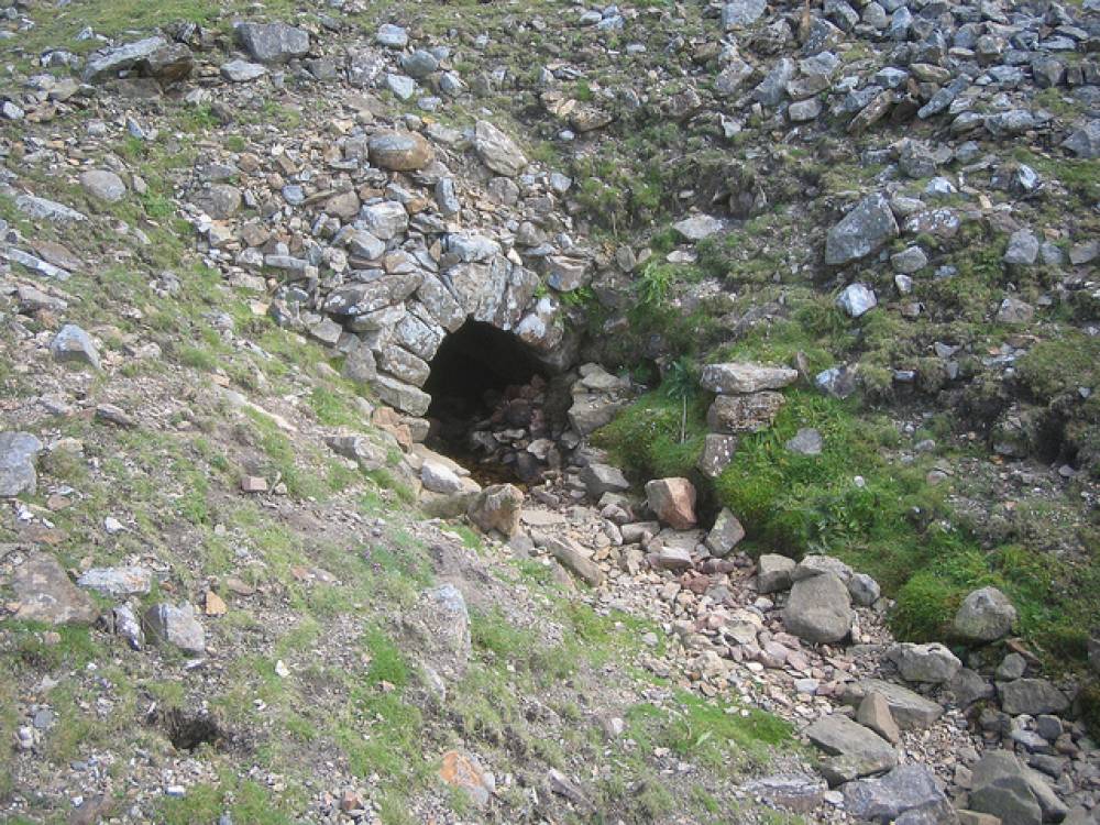
| Image 4 Description | Level Near Washy Green | 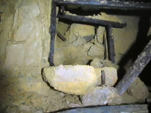 |
| Image 5 ID | 149 Click image to enlarge |
| Image 5 Description | Level Near Washy Green | 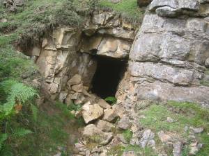 |
| Image 6 ID | 150 Click image to enlarge |
| Image 6 Description | Sun Gutter Level | 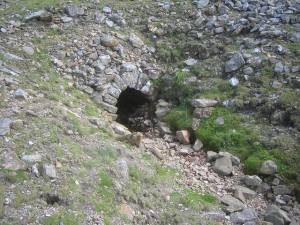 |
| Image 7 ID | 151 Click image to enlarge |
| Image 7 Description | North Gutter Level | 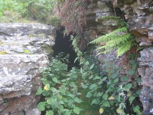 |
| Image 8 ID | 152 Click image to enlarge |
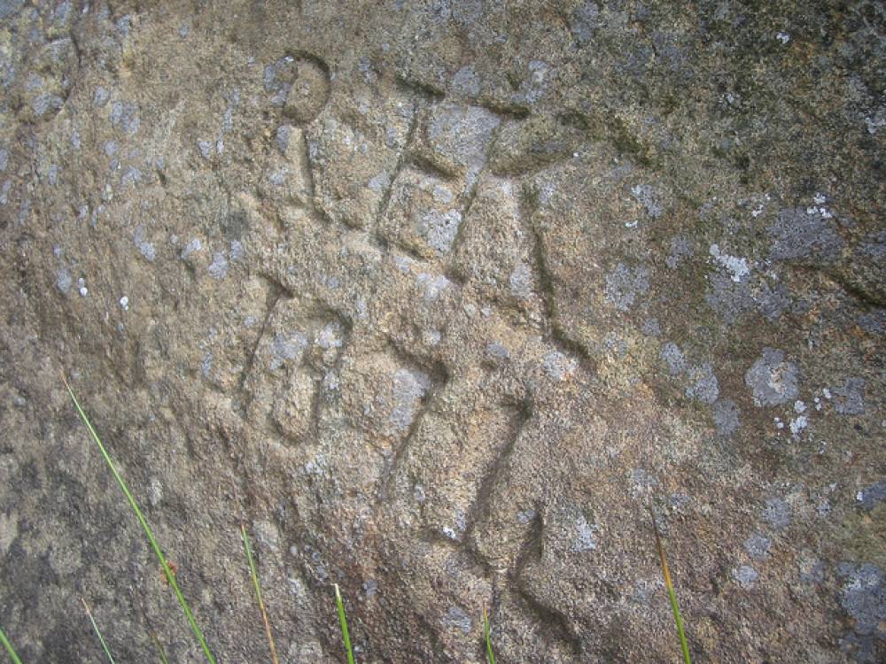
| Image 8 Description | North Gutter Level Grafetti |  |